 |
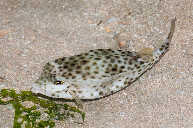
| Shortnose boxfish |
Sunday, June 15, 2014
The Amazing Frog Island, Round 2
We are back at Sekudu again for the second survey trip with a difference of two days. This time, I get to see the whole island in daylight as we worked past sunrise. Even a second visit within such a short time span can bring interesting findings such as this shortnose boxfish (Rhynchostracion nasus), which is the time time I am seeing it.
The boxfish has a very tough boxy body. It was so intriguing to feel its boxy body. Having said that, we should not be touching marine animals on the shore as some of them do sting or are poisonous to us.
Friday, June 13, 2014
The Amazing Frog Island
Did you know that Singapore has an island called Frog Island? The Malay name for this island is known as "Pulau Sekudu". In Chinese, it is called 青蛙岛.
Pulau Sekudu is an small island located just south of Chek Jawa, Pulau Ubin. It is a restricted area and permit from the National Parks Board (NParks) is required to gain access to this island.
The Google map above show you the location of Pulau Sekudu (south of Pulau Ubin, north of Changi Village).
Monday, June 2, 2014
Coral bleaching situation at Terumbu Pempang Laut
Recently, the tropical region is on high alert on coral bleaching as the water temperature in this region is getting warmer.
Here is the bleaching alert of Singapore and her neighbouring waters from Coral Reef Watch.
From the image, Singapore is located in middle of a Watch zone and Alert Level 1 zone.
Here is the bleaching alert of Singapore and her neighbouring waters from Coral Reef Watch.
 |
| Bleaching alert in the Southeast Asia region [Image from Coral Reef Watch] |
Sunday, June 1, 2014
My first visit to Terumbu Pempang Laut
It has been about 3 months since I last did an amphibious landing on our intertidal shores. The previous trip was to Pulau Semakau to check on the oil spill situation during the Lunar New Year. Today, we are doing an amphibious landing on one of the terumbus we have in Singapore. Terumbu refers to submerged reef. During high tide, it looks no different from any sea surface. The reef is being submerged. However, during the period of low spring tide, the tide falls below the reef, exposing the reef. It looks as though a piece of land has emerged from the sea and sank back a few hours later.
So where exactly is Terumbu Pempang Laut? Take a look at this google map image by Ria Tan.
From the image, you can see that Terumbu Pempang Laut is the furthest submerged reef northwest of Pulau Hantu. This is my first time visiting this reef. I have yet to visit Terumbu Pempang Tengah and Terumbu Pempang Darat.
So where exactly is Terumbu Pempang Laut? Take a look at this google map image by Ria Tan.
 |
| Image from Ria Tan. |
[Update] Welcome to my new blog URL
Hello!
Welcome to my "new" blog. As you have noticed, it is only a change in the blog's URL.
Thank you for reading my wonderful posts about Singapore's marine life.
Singapore GOT wildlife.
Cheers,
Pei Yan
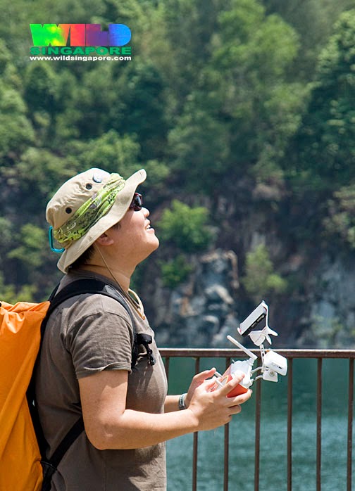 |
| Photo of me flying the drone by WildSingapore (Ria Tan). |
Subscribe to:
Posts (Atom)